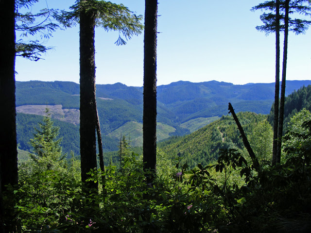
Enjoy this beautiful forest trail --- but watch out for the mountain bikers.
If you plan to hike the McKenzie River Trail and hope to enjoy a peaceful journey, DO NOT go on a weekend, when hordes of bikers storm the 26 mile trail which descends gradually from Clear Lake and follows the McKenzie downstream.
But if you can go mid-week, either for some day hikes or backpacking longer stretches of the trail, this is one of the prettiest places in Oregon.
The trailhead starts near Clear Lake.
If you want a series of day hiking adventures, consider camping here or renting one of their cabins. Clear Lake has an easy 4.6 mile trail circling the lake. One side crosses a lava field, and the other side is in the deep shade of the trees.
The McKenzie River Trail joins Clear Lake trail to the southern end of the lake and then splits off, heading south.
After crossing the highway, the trail intersects with the falls loop, a nice 2.6 mile day hike. The McKenzie River Trail crosses the river and heads south on the west side, while the east trail heads down to the tourist parking area for the spectacular waterfalls. The trails re-connect via a gravel road at Carmen Reservoir.
 |
| Sahalie Falls, west side |
 |
| Sahalie Falls, east side |
The falls can be seen on the west side as well.
Along the trail the McKenzie River tumbles into white water eddies with turquoise pools.
After this watery spectacle, the McKenzie goes underground, re-appearing at Tamolitch Pool.
The four miles from Carmden Reservoir to Tamolitch is lovely, most of the time it is far enough from the highway that you don't hear the traffic.
Tamolitch Pool can also be accessed by a trailhead 2 miles south. This is another popular day hike on the McKenzie.

After Tamolitch, the trail once again follows the McKenzie River. Our stopping point for our recent one-night trip was the campground at Trail Bridge Reservoir, 13 miles from the Clear Lake trailhead.

The next day we hiked back. If we could have taken two cars, it would have been nice to hike to the south end of the trail.

Then again, after 13 miles of downhill the day before, it was a relief to my knees to turn around and go gradually uphill for a change!

When we came to the falls loop and the lake loop, we took the opposite side so we could experience those features from a new perspective. I'm glad we did.
Here is a MAP! (scroll to the last page)


